Projects
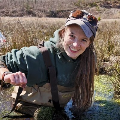
I am interested in the evolving relationships between water, land, and people. Broadly, my research focuses on freshwater wetland restorations, with specific interest in restoring forested swamps, dam removals, and the role natural and restored wetlands play in flood hazard mitigation. Beyond wetlands, I am always seeking water related projects that are community-based and address a community need.
The hydrologic evolution of restored wetlands
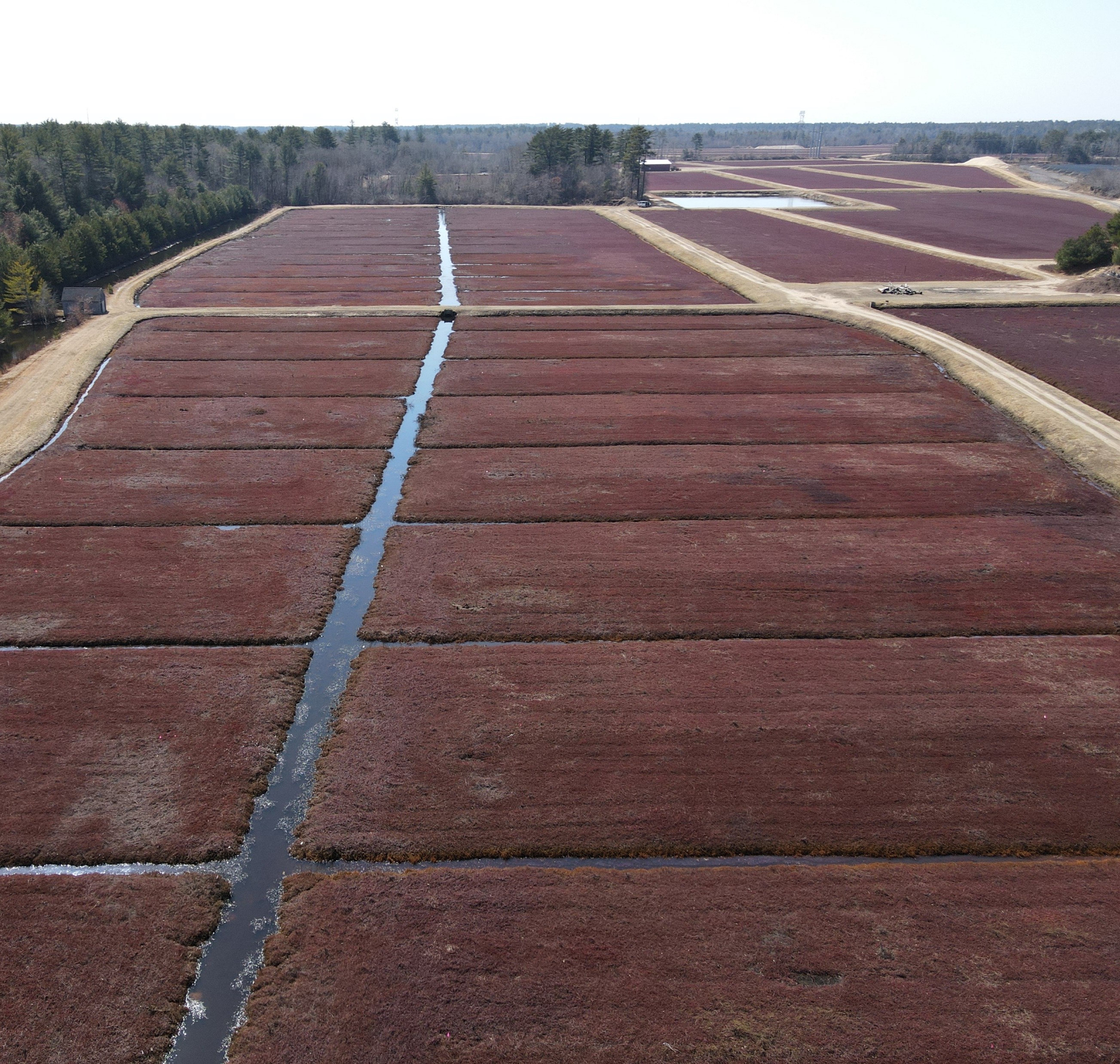 Why wetlands? Since 1700, an estimated 3.4 million km2 (about 21%) of global wetlands have been destroyed to allow the development of “usable” land. Now we understand that wetlands provide many benefits, including both flood and drought mitigation, carbon sequestration, and habitat refuge for plants, animals, and people. In the United Nations’ decade of “Ecosystem Restoration”, governments, non-profits, and private agencies are engaged in the restoration of various types of degraded environments globally. Wetlands are being restored to return some of the benefits which were lost.
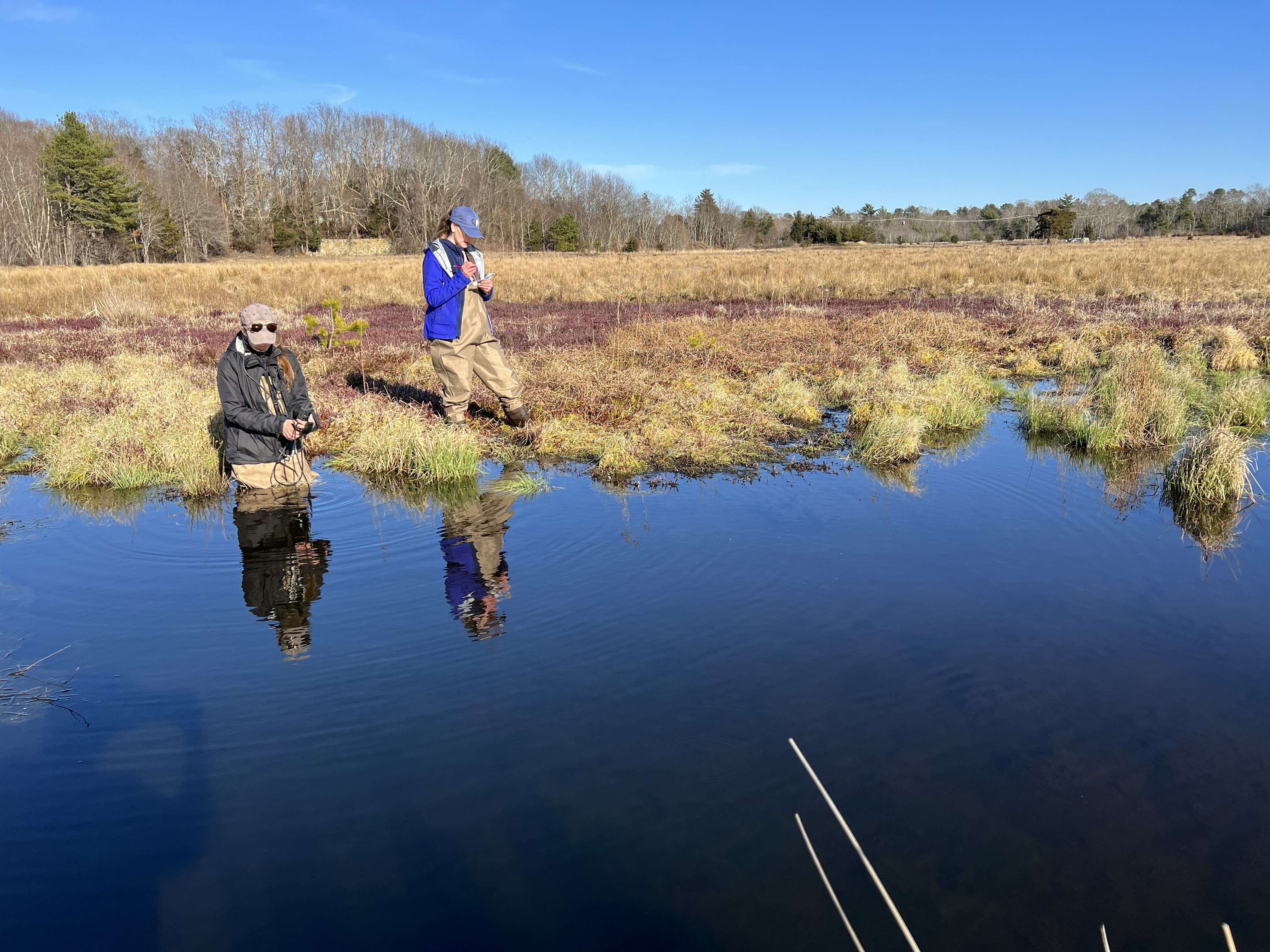 We are asking how the process of restoration changes the hydrologic regime, groundwater flowpaths, and the role groundwater seeps play in building a functioning wetland ecosystem. We are further interested in how these sites evolve with changing climate and urbanizing watersheds. A lot of my work has revolved around the freshwater wetland restorations of former cranberry bogs in New England. In conjunction with collaborators at Living Observatory, we are answering questions around how restoration impacts these sites.
Related Publications and Presentations
- Watts, C.L., Hatch, C.E., Guzman, C.D., *Hu, A. Wetland Restoration impacts on groundwater mixing: an isotopic and thermal imagery analysis. Submitted to Hydrologic Processes
- Watts, C.L., Hatch, C.E., Wicks, R. Mapping groundwater discharge seeps by thermal UAS imaging on a wetland restoration site. Frontiers in Environmental Science. 10-2022 (2023). https://doi.org/10.3389/fenvs.2022.946565
- Watts, C.L., Hatch, C.E., 2025 “Using isotopes to track changes in water mixing in a wetland restoration, and the implications for restoration success” Society of Wetland Science
- Watts, C.L., Hatch, C., Wicks, R. 2020 “Using Drones to Locate Groundwater for Wetland Restoration Projects” Geological Society of America
- Hatch C., Valentine, N., Ito, E.T., Watts, C.L., Leblanc, J., Chase, A., Mcinnis, L., Cosh, M., Maxwell, M., 2020 “Special (Cranberry) Sauce: Glacial Geology, Lots of Water, Overcoming Farming Practice, and Time Lead Bogs Back to Wetlands” Geological Society of America
- *Leblanc, J., Hatch, C., Ito, E.T., Watts, C.L., Wetzel, P., Mcinnis, L., 2020 “The Importance of Microtopography in Restored Wetland Ecosystems” Geological Society of America
*Undergraduate student researcher
Atlantic white cedar swamps: Hydrologic drivers of tree regeneration
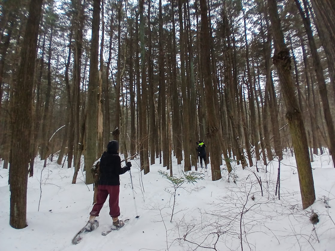
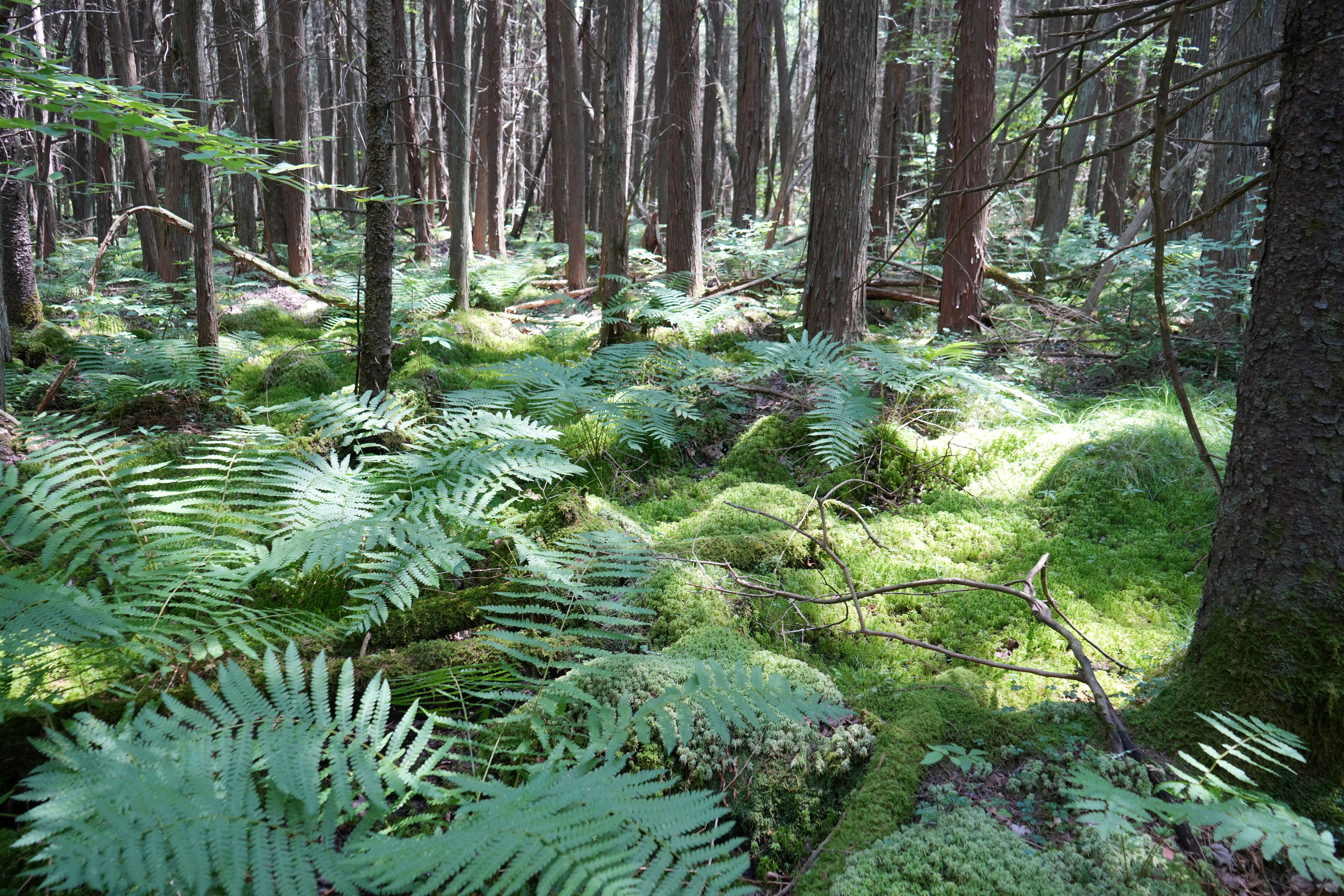 As an outgrowth of our work on cranberry bog wetland restorations, we are collaborating with a group of stakeholders (including land trusts, state agencies, environmental nonprofits, and indigenous orgs) who are working to restore and manage Atlantic white cedar swamps. Atlantic white cedars (AWC) are a wetland tree species which grows in kettlehole peatlands along the eastern seaboard, and are now a threatened ecosystem. Some of the cranberry farms in New England that are getting restored to wetlands, were once host to Atlantic white cedar forests.
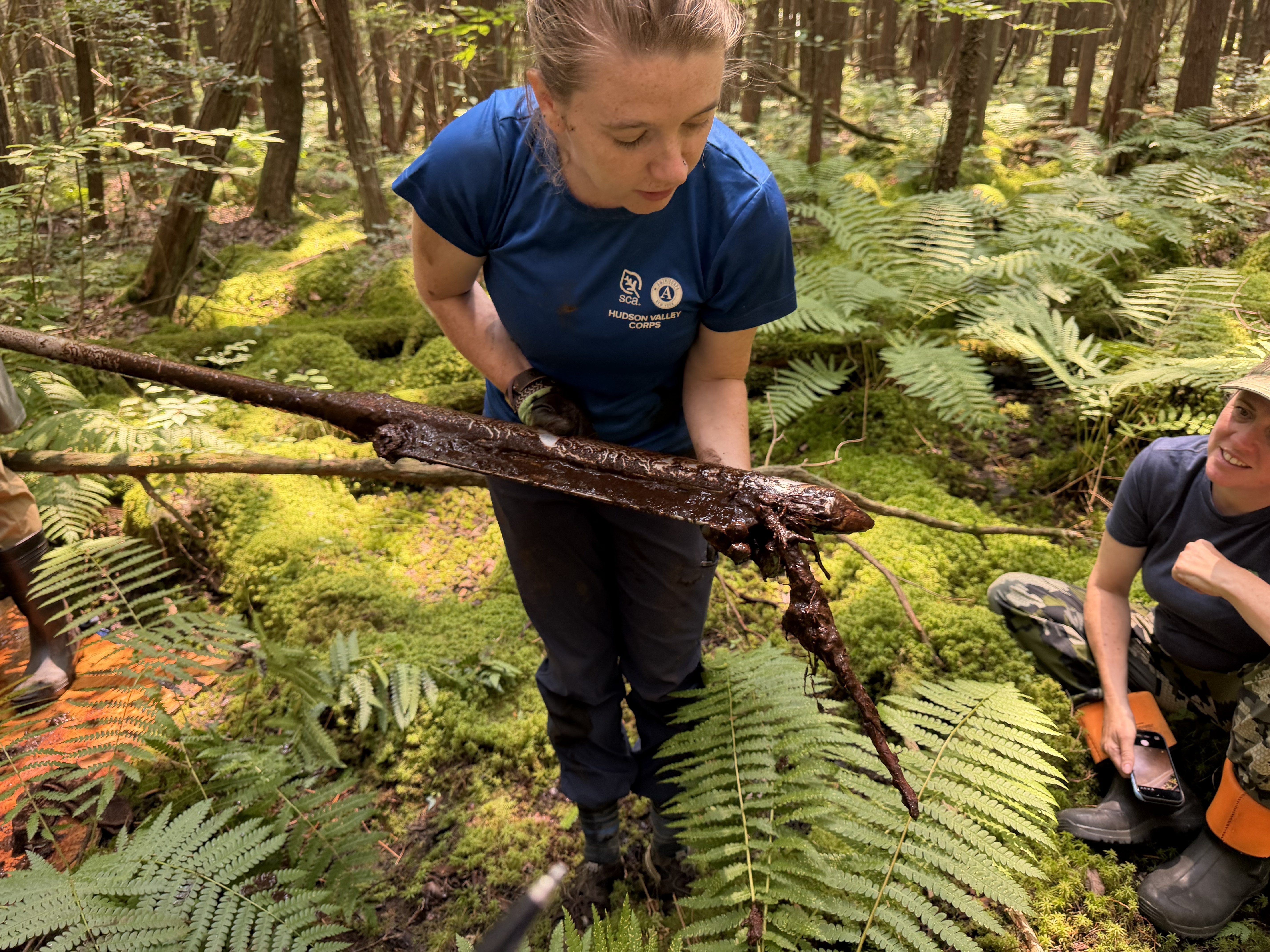 We are using peat cores to understand the land management history and paleohydrologic regime at the few Atlantic white cedar swamps that remain. The goal is to inform wetland forest management practices of these remaining cedar swamps, and establish parameters for ideal water and soil conditions for the restoration of these ecosystems along the east coast.
Flood forecast reliability in the rural northeast
NOAA produces the National Flood Inundation Map forecast, which provides hourly flood predictions, and will have complete coverage of the US by the end of 2026. I have contributed to work that makes these forecast models available and accessible to end users, allowing local stakeholders to modify the model based on individual needs. We are currently adding more functionality for users, including mapping forecasted impact. As a newly released model, there is much work to be done assessing forecast accuracy. We are working to establish a mix of ground-truth datasets aimed at the rural northeast (including NY and PA) to understand the strengths and limitations of the forecasts. With other validation efforts nationally, we can assess how the national model can be improved to better represent local conditions, and prepare communities for the next flood.
Related Publications and Presentations
- Baruah, A., Dhital, S., Cohen, S., Tran, .D., Elhaddad, H., Watts, C.L., Devi, D., Chen, Y., Pruitt, C. FIMserv v.1.0: A Tool for Streamlining Flood Inundation Mapping (FIM) Using the United States Operational Hydrological Forecasting Framework. Environmental Modelling and Software vol. 192 (2025) https://doi.org/10.1016/j.envsoft.2025.106581
- Elhaddad, H., Tran, D., Watts, C.L.*, 2024 “Transitioning to Impact – Based Forecasting for Riverine Floods” American Geophysical Union *Authors contributed equally, and are listed alphabetically
Tools we use
- Stable isotope Geochemistry
- Fiber-optic Distributed Temperature Sensing
- Thermal Drone Mapping